Agriculture
Agriculture, Surveying & Mapping
Crop monitoring, spraying and survey drone programs, operated safely and legally.
Overview
Drone programs for agriculture, surveying and mapping
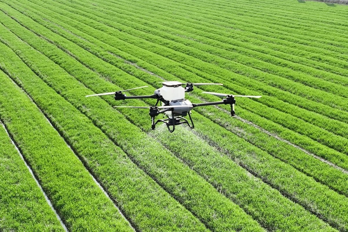
From crop monitoring and spraying to topographic survey and mapping, drones are changing how land is managed. We help agricultural businesses and surveying and mapping firms build compliant programs, train their pilots and manage operational risk.
Scope
Crop, survey and mapping missions
Sector
Agriculture, Surveying & Mapping
How We Help
Support for the Way You Operate
Program setup
Operational planning and procedures for agricultural and survey missions.
Pilot training
Practical drone pilot training aligned to regulatory requirements.
Data and quality
Capture standards and workflows that keep survey data dependable.
Related Services
Services Most Often Used in This Sector
Drone Operations
End-to-end drone program design, fleet management and regulatory compliance.
Training & Capacity Development
Practical, industry-relevant skills for aviation professionals.
Compliance & Regulatory Support
Navigating aviation regulations while maintaining operational efficiency.
Get started
Let's Talk About Agriculture, Surveying & Mapping
Tell us about your operation and we will propose a practical way forward.